
Norco Neighbors by Record Layer
Norco neighbors are best understood through layers that describe land, recorded roles, dated activity, and community geography. The Map My County viewer can show adjoining parcels. The assessor can supply parcel characteristics, while a deed can show a grantor or grantee at a recorded date. A permit can name an applicant or contractor. A reverse directory can place a household in an older edition. None of these layers is a complete present-day block roster of Norco neighbors.
| Source | What It Shows About a Block | Access |
|---|---|---|
| Map My County parcels and aerials | Physical adjacency, APNs, site clues, and surrounding polygons | Free public viewer |
| Assessor and tax layers | Parcel characteristics and assessed owner or mailing clues | Address/APN portal; fields vary |
| ACR deeds and liens | Recorded parties and parcel chain at dated instruments | Index, then paid copy or office route |
| Permits, code, and city packets | Address activity, applicants, contractors, hearings, and notices | Online search or focused city request |
| Voter records | Self-status or restricted approved-purpose data | Not a general block lookup |
| Reverse directories | Historical listed households near a street number | Corona Heritage Room, in person |
Owners, mailing addressees, and occupants can be different. Map My County labels Parcel Owner as County use only, so it is not a public shortcut to a county-wide owner-name directory. A deed gives an indexed role, not occupancy. A mailing address may point to a PO box, trustee, agent, or another residence. Treat every parcel clue as a dated record role unless a second independent source supports a historical household connection.
The California voter-information access rules illustrate the same layer principle: an approved record request is not a casual block search.
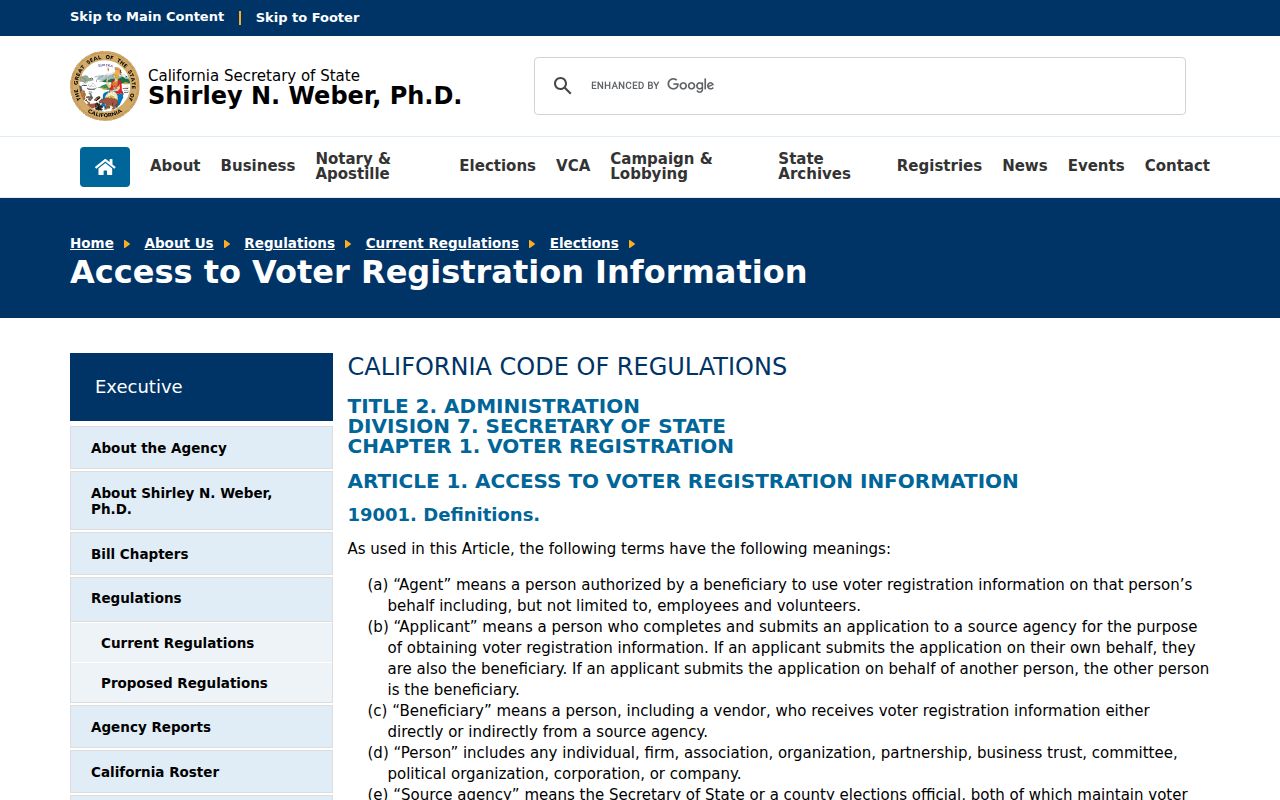
The official voter guidance keeps a block lookup from treating restricted election data as a general residents directory.
Norco Parcel Lookup Around One Block
Map My County is the defensible starting point for a Norco block. Open the public viewer, search the known address, turn on parcel lines and aerial or site layers, and zoom until the adjoining lots remain visible. Click the target polygon first. Record its APN, situs, legal-description clues, and city or community label. Then click each physically touching polygon and save the APN and site data separately.
Cross-street search helps orient a corner, but an address number does not define the block. Trails, flood or river corridors, large equestrian parcels, and later subdivisions can put a high or low number beside land that is not next door. The GIS picture is about physical adjacency. It does not by itself identify every household around the parcel.
- Address
- Locate a starting point after standardizing the street spelling.
- Assessor Parcel Number
- Open a list of known APNs and compare the returned parcels.
- Cities and Communities
- Orient the search to Norco without treating a city filter as occupancy data.
- Cross Streets
- Find possible crossings and understand corners.
- Legal Description
- Bridge an older land term to a present parcel.
- Permit and Case
- Follow a city case when a parcel or project number is known.
Norco Block Records by APN
A block worksheet keeps a block search auditable. Begin with the target address and search date. List each adjacent APN, the situs shown, the map layer used, and whether the polygon is residential, commercial, institutional, multifamily, mobile-home, or another type. Those distinctions matter because one parcel or management address can contain many people.
Next, use assessor or open-data layers for land and improvement clues, then search the Riverside County ACR index for a dated deed or lien. The online path reaches 1975; pre-1975 work requires Gateway Riverside office research. Search by party, document type, map or book-page clue, or Advanced Search. Record the grantor, grantee, recording date, and instrument number, but do not rewrite a recorded role as an occupancy claim without supporting household evidence.
The county's assessor open-data service and map selection tools cap records or selections at 2,000. Keep the block subset reasonable. A smaller, well-labeled set of adjacent parcels is more useful than an unbounded export that mixes unrelated tracts and namesakes.
Norco Equestrian Parcel Records
Norco's parcel fabric is not a simple tight suburb. Trails, corrals, animal-keeping areas, large lots, and recorded Primary Animal Keeping Area covenants can shape the space around an address. A PAKA covenant can contain an APN, owners' names, legal description, exhibits, and signatures, and it runs with the land. That makes it a useful land-history bridge, but it still documents a land-use restriction rather than every person who used the property.
The same caution applies to later tract splits. Orange Heights Tracts 1 and 2 were recorded in 1909 and 1910, with farm lots commonly around ten acres. A present street address may sit on a piece of an older parent parcel, while a neighboring polygon may preserve the earlier legal description. Use the tract map and deed description when the visible street pattern does not explain the block.
Norco LMD Geography for Neighbors
No verified citywide neighborhood-association directory was located for Norco. The five Landscape Maintenance Districts are the stronger documented geographies. They describe tract and benefit boundaries, not member households. Their counts can help place a block in a development cohort, then GIS, permits, tract maps, and deeds can explain the parcel history.
| District | Tract geography | Published scale |
|---|---|---|
| LMD No. 1 | Tract 28765 | 67 lots |
| LMD No. 2 | Tract 25799 | 219 lots |
| LMD No. 3 | Tract 28626 | 82 lots |
| LMD No. 4, Norco Ridge Ranch | Tracts 29588-29589 | 562 assessable lots |
| LMD No. 5, Hawks Crest | Tract 30230 | 50 lots |
Use the Norco LMD information for the official district material. A district boundary can tell you which tract geography surrounds a block, not who belongs to a private group or lives at a given lot.
Norco City Packets and Block Records
Norco City Hall records can add a dated civic layer around nearby parcels. The CivicWeb portal may contain meeting packets, staff reports, resolutions, voting records, and public-record request routes. Search by subject, date range, department, address or APN, permit or case number, and likely document title. Planning files can include owners, applicants, representatives, legal descriptions, public-notice material, and project dates. Building files can connect an address to a then-owner, contractor, scope, inspection, and final status.
Public-hearing notices may list affected owners or addressees, subject to privacy and retention limits. A complaint or code file may have withheld complainant identity or investigative material. These records show participation in a city process at a time. They do not form a current block roster, and a contractor or applicant should not be mislabeled as the person who lived there.
Norco Block Lookup From an Address
The block process has a clear order: address → parcel polygon → APN → site and legal description → adjoining parcels → dated deed or permit roles. Start at the known address in Map My County. Turn on parcel lines, aerial, and site layers. Click the target parcel, then the polygons that physically touch it. Use cross streets to orient corners, but do not treat the next house number as the next parcel.
- Standardize the street address and locate it in Map My County.
- Record the target APN, situs, city or community, and legal-description clues.
- Click each adjacent polygon and preserve its APN and site data as a separate row.
- Use assessor or ACR records to test a dated owner or recorded-party role.
- Compare permits, packets, or historical directories only when their date and scope fit.
For the full named-street chain, use the Norco street directory path. The block lookup stays focused on the immediate radius and keeps every parcel's role separate.
Older Norco Neighbor Records
Historical block searches require a different source key. The Corona Public Library Heritage Room holds Riverside City & County Directories from 1889-1966 on microfiche. When an edition includes a street or reverse section, house numbers and listed occupants can show who appeared near an address at that time. The section may be absent, rural routes may be separate, and unlisted telephone subscribers may not appear.
Search North Corona, Orange Heights, Orchard Heights, Corona, and Norco as separate place terms. Compare several numbers before and after the target. A gap can mean vacant land, a changed number, rural delivery, an unlisted service, or a scope limit. Pair the listing with census, newspaper, deed, and permit evidence without calling a historical listing a current household.
Norco Records Versus People-Finder Claims
Compiled people-finder tools may promise a ready-made list, but their category of data can be stale, merged from different roles, or unclear about source dates. Official parcel, deed, permit, court, and directory sources are slower because each has a custodian and an access rule. They also make it possible to state exactly what a result shows.
| Source type | Strength | Limit |
|---|---|---|
| GIS and assessor | Physical parcel and assessed land context | Owner-name access is limited; not occupancy proof |
| Recorded deed | Named party and title event at a date | Does not establish who lived there |
| City permit or packet | Dated participation and address activity | Applicant or contractor may not be occupant |
| Compiled people-finder tool | Fast category-level lead | Source, date, role, and correction path may be unclear |
For Norco neighbors, speed should not replace source discipline. Record the custodian, date, role, and address type before repeating a claim. A two-source match is stronger than a polished list with no record trail.
When a record trail exposes a scam or identity concern, the federal identity-theft recovery route is a safety resource, not a block search.
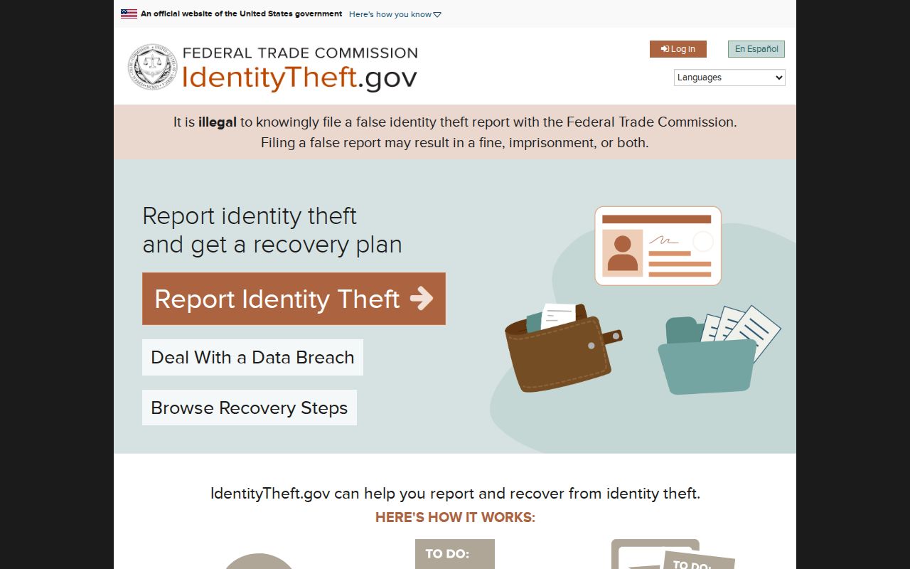
Keeping the recovery channel separate from parcel research protects both the person reporting harm and the accuracy of the block record.
Norco Neighbor Safety Records
The California voter-file request page shows the application, purpose, security, and agreement steps that block ordinary block use.
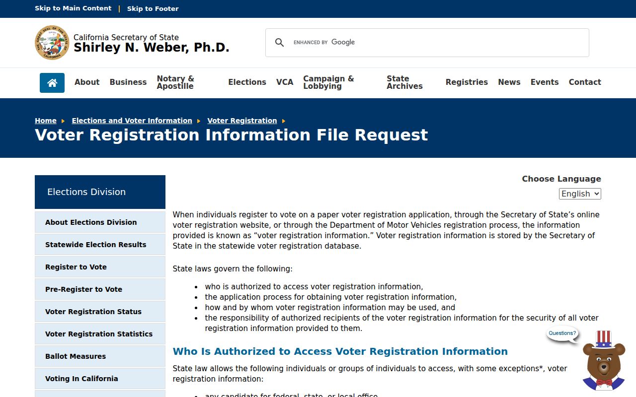
The request screen is a reminder that lawful access depends on purpose and safeguards, not simple curiosity about a block.
For an immediate county safety concern, use the Riverside County Sheriff service channel rather than trying to identify a person through neighboring parcels.
The county service source belongs to safety response, not to a resident roster.
Norco Neighbor Privacy Boundaries
Household members and occupants are not indexed in a public block roster. Utility customer lists and delivery data are not public. California My Voter Status is a private self-check, and voter files are restricted to approved election, scholarly, journalistic, political, or governmental purposes under Elections Code section 2194. Elections Code section 18109 and related regulations also limit misuse, redistribution, and harassment.
Safe at Home supplies a substitute mailing address and forwarding service for qualifying participants under Government Code sections 6205 et seq. Confidential voter treatment can add another shield. Treat a protected-address signal as a stop point, not a challenge. California Penal Code section 646.9 and the restraining-order framework in Code of Civil Procedure section 527.6 make personal safety a real boundary.
Lawful personal use. Use Norco neighbor records for block awareness, family history, reconnecting, civic research, or personal safety. Never use a parcel, directory, or voter clue to stalk, harass, intimidate, or harm anyone.
Minimize copied data. Do not publish full birth dates, signatures, account details, minor or victim information, or protected addresses. If an office record is wrong, keep the source and date, then ask the custodian for correction rather than compiling a public dossier.
For an immediate threat, use the county safety channel rather than trying to identify a person through adjacent parcels.